
Porto Santo
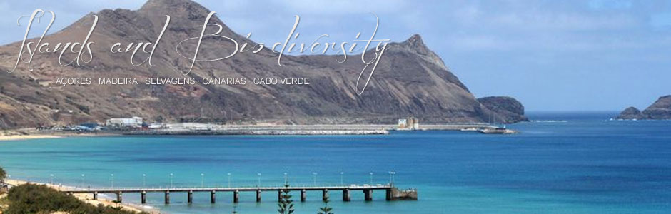
Porto Santo (42.2 km2) is located 39 km northeast of Madeira. The landscape of flatlands, mountains and isolated peaks, gently sloping ridges, sandy beaches and dunes shares similar geomorphological features with the easternmost Canary Islands. The southern arc of the island is almost entirely covered by a beach of white sands that stretches over 9 km. On the north coast high cliffs exceed 200 m, particularly between Pico do Concelho and Pico Branco. The highest point on the island is Pico do Facho (517 m), followed by Pico Branco (450 m), Pico do Castelo (437 m) and Pico do Concelho (324 m). A spacious plateau stretches over the central area and connects with other peaks and high ground in the southwest sector, notably Pico de Ana Ferreira at 283 m.
The climate is much drier than Madeira and similar to São Lourenço or the Desertas, albeit with less rainfall, higher temperatures and a higher sun index than Madeira.
A population of over 5000 inhabitants is spread between Vila Baleira, the capital, and Camacha, Campo de Cima and Campo de Baixo. In summer, the arrival of tourists, mainly from neighbouring Madeira, cause numbers to rise considerably because Porto Santo has the best beach in the archipelago, in addition to a mild, sunny climate. In fact, in the last twenty years, several hotel complexes have been built on the south side, between Campo de Baixo and Ponta da Calheta, as well as a golf course near the airport.
Agriculture and livestock farming are still practised, but the services sector is the driving force behind the economy, particularly summer tourism. The little agriculture still in place is based around wine-growing; vines were even planted on dunes to stop sand encroachment. Widespread threshing floors, windmills and other infrastructure associated with dry farming reflect the past importance of cereal cultivation. Historical landmarks include the discovery of Porto Santo in 1419, a year before Madeira, and Christopher Columbus’ stay on the island in 1480, where he married, and again in June 1498 during his third voyage to America.