
Salvaje Grande
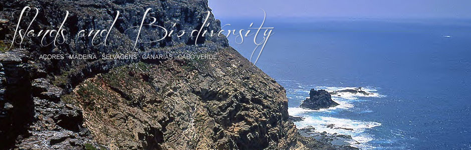
The largest (4.5 km2) and highest (151 m asl) island is an irregularly shaped plateau that is practically flat on top and has sheer sides that plunge abruptly into the sea. The higher section, roughly 100 m above sea level, is a broad plain with three promontories: Pico da Atalaia (151 m), where one of the lighthouses is located, Pico Tornozelos (137 m) and Pico do Inferno (107 m). When the atmosphere is clear, you can catch a glimpse of Mt Teide from here. The coast is heavily eroded from being pounded by the sea, and abrupt cliff walls render the island largely inaccessible. Moreover, it is almost entirely surrounded by reefs, headlands and rock platforms.
A small jetty is located on the leeward side, at Enseada das Cagarras, where there is a house for the keepers of the nature reserve. From this point, two paths head off towards the upper plain. Geologically, the island is formed by a complex agglomeration of compact tuff that includes phonolitic volcanic and plutonic rocks, crisscrossed by basaltic and phonolitic dikes and pitons. This mass rises 70-80 m above the sea and rests on a layer of miocenic calcareous materials that are several metres’ thick and contain different land and sea fossils. The upper section of the island is covered with pyroclastic rocks and basaltic lava flows of ancient submarine eruptions, as well as those of more recent eruptions from the three promontories mentioned above: Atalaia, Tornozelos and Inferno, which are, in reality, old volcanic cones.