
Santa Luzia
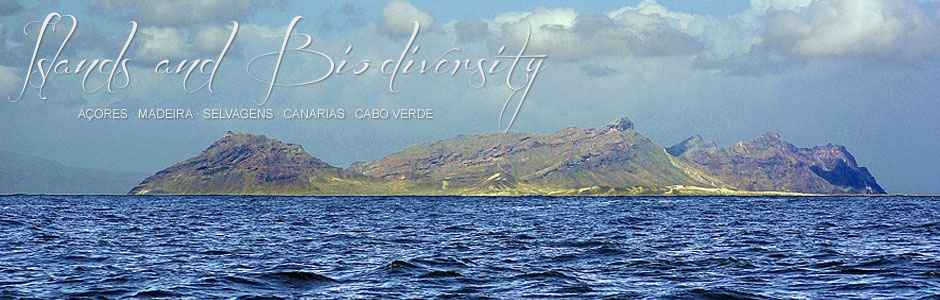
Santa Luzia (35 km2), the smallest island in the archipelago of Cape Verde, is part of the Barlovento or Windward group of islands and is currently uninhabited. At 395 m, Toponha or Monte Grande is the highest point and is located at around 9 km from São Vicente, the nearest inhabited island. In the north and south, the geomorphology is dominated by long sandy beaches and large dunes of eolian sand deposits, while the most precipitous mountainous area is located in the western half, where a substrate of sands is overlaid by another of rocks and stones. Although annual rainfall is unknown, given the semi-arid nature of the islet, it must be similar to average values for São Vicente.
In the 19th century, this tiny island was inhabited by some twenty people whose main activities were fishing and stockbreeding. Cheese and wool was produced from the goats, sheep and donkeys that grazed freely all over the island. The strategy often followed on many islands in the archipelago was to release a good number of animals before the arrival of settlers, to ensure supplies for the first stages of colonization. Up until the 1950s, the island was still home to one inhabitant, who occupied one of the few remaining buildings. From an administrative perspective, Santa Luzia belongs to São Vicente.
In 1990, Santa Luzia and the islets of Branco and Raso were declared a nature reserve. Despite the absence of regulation and wardens, not many people ventured to this island from São Vicente, except for fishermen and a handful of curious tourists who cross the narrow strait from Calhâu, the nearest centre of habitation. However, daily trips—some for tourism—from São Vicente now seem to be a reality. Uncontrolled visitor numbers will certainly impact negatively on this protected islet, a fact that is already evident in the accumulation of rubbish (some thrown up by the tides) left behind by day trippers.